Rai River
Last Modified: 16-1-2022 20:26
By: Christopher Cookson
© Christopher Cookson License this image
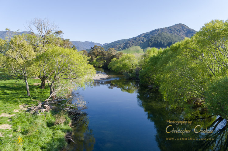
The Rai River is the main tributary of the Pelorus River, formed by the confluence of several smaller rivers, the Brown, Ronga, Opouri, and Tunakino, flowing through Rai Valley, till it meets the Pelorus River at the Pelorus Bridge Scenic Reserve. The Rai Valley was formerly heavily forested in indigenous mixed beech and podocarp forest, however milling in the 19th and early 20th Centuries removed nearly all the natural vegetation in the valley including the river's riparian zone, apart from small pockets of native vegetation at Pelorus Bridge Scenic Reserve and Carluke Reserve. Much of the riparian zone has introduced willows and exotic pasture grasses.
The Rai flows in a single channel. At Rai Falls, a rocky obstruction of the channel functions like a natural weir creating a white water rapid. The river is a popular river for trout fishing, with good stocks of both rainbow and brown trout.
According to LAWA (Land Air Water Aotearoa), The Rai is rated as fair for ecological diversity, and likely degrading, due to pastoral land use in the river catchment. High E. coli and nitrogen levels have been identified as issues in reports on the water quality of the Rai.
The river has several road bridges across it, including at Bulford Road, and Carluke, and a popular walking track at Pelorus Bridge Scenic Reserve leads to a pedestrian suspension bridge across the Rai a short distance upstream of its confluence with the Pelorus.
Web Links
Cite this page
Cookson, C. (2022). Rai River. Retrieved April, 26, 2024, from https://www.marlboroughonline.co.nz/marlborough/information/geography/rivers/rai-river/