Red Hills
Last Modified: 19-5-2022 14:39
© Christopher Cookson License this image
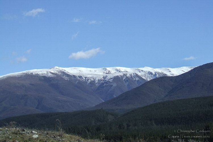
The Red Hills are a flat topped ridge located west of Blenheim in the Wairau Valley to the north of the Wairau River and form the western part of the Richmond Range, separated from the rest of the range by the Goulter River. The highest point is Maungakura / Red Hill at 1791 metres, which is also the highest point in the Richmond Range. Maungakura is culturally significant for Ngāti Kōata, Ngāti Rārua, Ngāti Tama ki Te Tau Ihu, and Te Ātiawa o Te Waka a Māui, and is the dominant peak in the south east visible from Tasman Bay. According to traditions, Maungakura is the resting place of the taniwha Te Huarau who was kaitiaki of Maungakura. The peak is also known as Parikarearea. A number of tarns are found on the Red Hills ridge.
The Red Hills rocks were formed in the lower Permian age and are part of the Dun Mountain mineral belt which runs through to D'Urville Island. Most of the Red Hills rocks are metamorphic peridotites but there is a brief limestone belt in one part. In much of the hills the rocks are unserpentinised but in the west there are large serpentine outcrops with deposits of wairauite and awaruite (cobalt and nickel iron alloys). A large ultramafic outcrop to the south east forms a large plateau. Massive harzburgites with protruding pyroxene crystals and lenses of dunite and chromite are common in this part. Basalt, gabbro and rodingite are found throughout the hills.
Due to the mineral composition, with high levels of iron, magnesium and toxic metals, the soils are poor and vegetation is sparse, however owing to the lack of competition many normally high altitude plants can be found at incredibly low altitudes. Furthermore a number of mineral belt specific plants and plants endemic to the Red Hills are also present.
Originally, the Red Hills were part of a sheep run called Top House but the name was changed in 1910 and most of the land reverted to the government after farming became uneconomic. One of Marlborough's first houses was built there in 1846 and an accommodation house followed for travellers.
Public access is possible from State Highway 63 via a dual use tramping and mountain bike track, with a DOC hut near the western end of the ridge.
Images
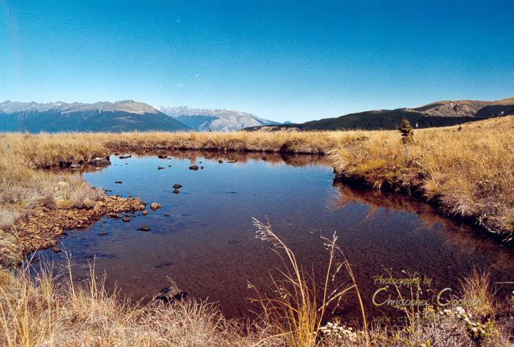
© Christopher Cookson License this image
Upper Wairau in the background
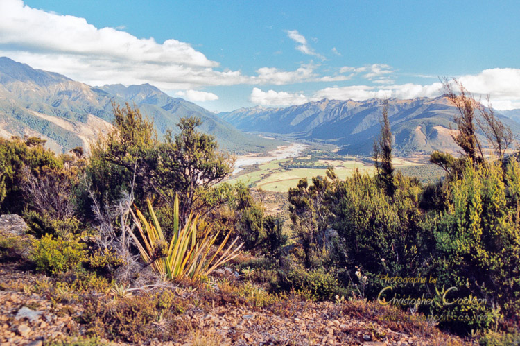
© Christopher Cookson License this image
Web Links
Cite this page
Red Hills. (2022) Retrieved April, 27, 2024, from https://www.marlboroughonline.co.nz/marlborough/information/geography/high-country/red-hills/