Leatham Conservation Area Tramping Tracks
Last Modified: 21-11-2020 18:03
© Christopher Cookson License this image
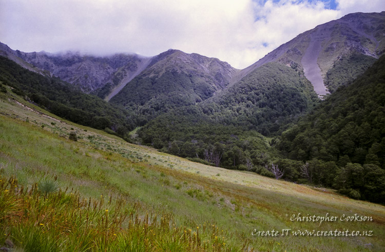
The Leatham Conservation Area extends over an extensive area of mountainous terrain south of SH63 towards the west of the Wairau Valley. Although smaller, and perhaps not as well known as Mount Richmond Forest Park, the area offers excellent opportunities for longer duration tramps with a good network of huts ranging from Greigs Hut, sleeping 15, and one of the largest in Marlborough, to basic two bunk bivvies. The lower parts of the valleys is mostly beech forest, however at higher altitude the vegetation changes to alpine herb fields, and eventually scree slopes.
The two main routes follow the Branch and Leatham valleys respectively.
Branch Valley
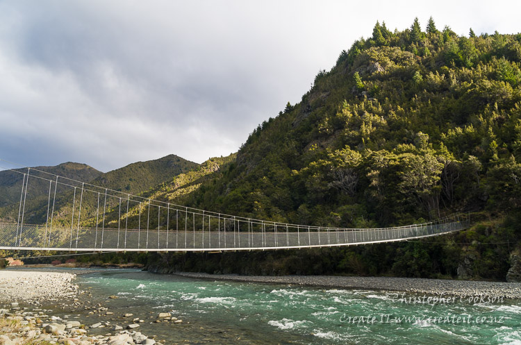
After crossing a swing bridge over the Leatham River at the DOC car park on the Leatham Valley Road, a track proceeds to the Branch Valley and follows the true right of the river for 14km to Greigs Hut, on a good track that is also suitable for four wheel drives and mountain bikes.
From Greigs Hut, there are numerous options. An approximately 5km track leads to the summit of 1930m Mount Morris. Alternatively, continuing to follow the Branch River for another approximately 8km leads to the Bottom Misery Hut from where it is possible to choose to either follow the Misery Stream to Top Misery Hut, or continue up the Branch to the Branck Bivouac.
Leatham Valley
At the end of the Leatham Valley Road at Leatham Station, a four wheel drive track follows the true right of the river for about 20km to Bottom Gordons Hut. Along the route are the Caves Hut and Barbers Hut to break the journey if necessary. There is a river crossing downstream of Barbers Hut, however this can be avoided by crossing a swing bridge just north of Caves Hut, however this track is strictly a tramping track, not for vehicles or mountain bikes.
At the Bottom Gordons Hut, the four wheel drive track ends, however a tramping track continues to follow the Leatham River for about another 7.4km to the Top Leatham Hut. Alternatively, it is possible to follow the Gordons Stream to the east via the Gordon Track 5.5km to the Top Gordons Hut.
For the truly adventurous, it is possible to complete the 56km Leatham-Molesworth route loop, passing over the Severn Saddle and back via the Saxton Saddle. Much of this route is unmarked, and extremely rugged, so is only suitable for very experienced trampers. Parts of this route require a permit from DOC between 1st of January to 30th April.
Images
© Christopher Cookson License this image
Web Links
Cite this page
Leatham Conservation Area Tramping Tracks. (2020) Retrieved April, 28, 2024, from https://www.marlboroughonline.co.nz/marlborough/information/recreation/tramping-and-walking/leatham-conservation-area-tracks/