Severn River
Last Modified: 10-4-2021 10:32
By: Christopher Cookson
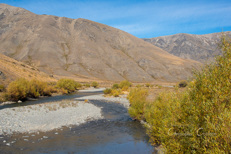
View southeast from Acheron Road
© Christopher Cookson License this image
The Severn River is one of the major tributaries of the Acheron River with its source in the Raglan Range, flowing south about 25 kilometres through Molesworth to its confluence with the Acheron. The river has both braided and gorge sections where it is confined to a single narrow channel. The Severn drains a flat alpine basin with an area of over ten square kilometres, at an altitude over 900 metres. The Alma River is the most significant tributary of the Severn River. During the last glacial period, part of the upper Wairau flowed into the Alma, significantly increasing the size of the Severn River system.
Ecology
Vegetation is sparse and is mostly alpine grassland, including introduced pasture species, with a few low growing herbaceous alpine plants. Originally, native tussock was the dominant vegetation, however this was repeatedly burnt by runholders who replaced it with introduced grasses more palatable to stock. Most of the area is treeless apart from parts of the lower riverbed which has a significant number of introduced willows. According to the 2013 Molesworth Management Plan, about 1,000 hectares of the flat area known as Travellers Valley is actively maintained and enhanced as pasture. On slopes around the periphery of the basin, sweet briar is an invasive species.
Access
The Severn River has one bridge on the Acheron Molesworth Road near its confluence with the Acheron River. The Molesworth Leatham Route is a 56 kilometre mostly unmarked tramping route that follows the Severn River from near its source to the Severn Hut, about half way along its length. An unsealed road that intersects with the Molesworth Acheron Road follows the river for about two kilometres to near Red Gate Hut, but is signposted as no access. A 24 kilometre four wheel drive track beginning just south of the Severn bridge follows the south bank of the river to the Alma River and then on to the Sedgemere Sleepout on the Tophouse Road. This track follows what was one of the main routes between Nelson and Canterbury in the early colonial period. This track is open to the public over part of summer.
History
The river was presumably named after the Severn River in Wales by European colonists, similar to a number of other rivers in Marlborough. Although Ngāi Tahu trails passed through the Molesworth area, there is no evidence of Māori trails following the Servern River and there is currently no Māori name identified for the river. Between 1859 and 1877 the Severn basin was part of the 81,000 hectare Clarence Run incorporating much of the Acheron and Clarence (Waiau Toa) farmed by the Carter Brothers, originally from Lincolnshire in England. In January 1868, one of Thomas Carter's employees committed suicide near the confluence of the Severn and Alma rivers after earlier murdering a worker at Tarndale Station. The Clarence Run was sold to W.A. Low in 1877 who incorporated it into the St. Helens Run, although the Severn became part of the Tarndale Run. A historic colonial stock and horse trail traversed the lower section of the Severn valley to Red Gate, where it divided into two separate trails, one that followed the Alma River, and the other that followed Tarndale Brook through Travellers Valley.
Images

Red Gate Hut at the confluence of the Alma and Severn Rivers
© Christopher Cookson License this image
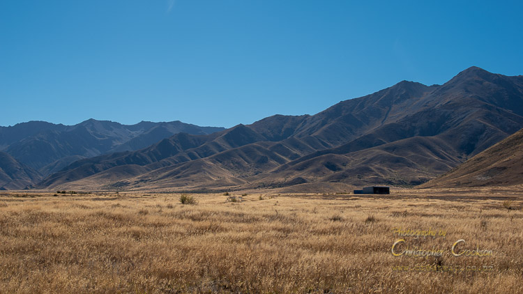
View north west from near Red Gate
© Christopher Cookson License this image
Web Links
Cite this page
Cookson, C. (2021). Severn River. Retrieved April, 19, 2024, from https://www.marlboroughonline.co.nz/marlborough/information/geography/rivers/severn-river/