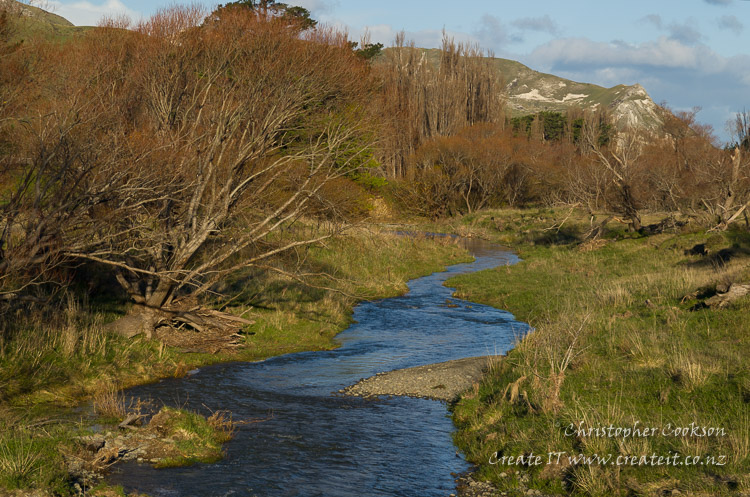
Flaxbourne River
Last Modified: 21-2-2019 0:14
© Christopher Cookson License this image
The Flaxbourne River is a small river in the eponymous Flaxbourne district near Ward, reaching the sea at Ward Beach. The river has its source to the east of Ward, and to the south of the Haldon Hills.
The area of the river catchment was formed by uplift approximately 7-11 million years ago. As a result, marine fossils may be found where erosion from the river has exposed rock formed from marine sediment. Erosion of the soft limestone has also resulted in exposure of the boundary layer between the end of the Cretaceous period and the beginning of the Tertiary period, due to a major meteorite impact 65 million years ago. The Flaxbourne River site with exposed K-T boundary layer is one of several in Marlborough, and one of just a handful worldwide, making it a site of major geological significance.
In the 1830s, a bloody battle between Ngati Tōa and Ngāi Tahu occurred near the mouth of the river.
The river is an important source of irrigation water for vineyard developments in the area.
Cite this page
Flaxbourne River. (2019) Retrieved April, 25, 2024, from https://www.marlboroughonline.co.nz/marlborough/information/geography/rivers/flaxbourne-river/