The Ned / Te Hau
Last Modified: 17-5-2021 12:57
By: Christopher Cookson
© Christopher Cookson License this image
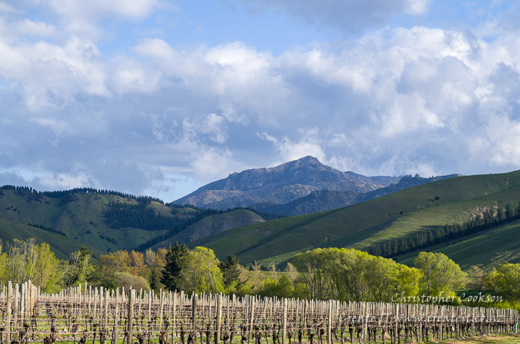
The Ned or Te Hau is a 909m peak to the south of Blenheim within the Wither Hills Ecological District with areas of significant indigenous dryland vegetation. The mountain is located on private property within Tempello Station and is the closest significant mountain to Blenheim. The Taylor Valley, the source of the Taylor River, runs north east from the mountain, and the mountain itself can clearly be seen from Blenheim. Although The Ned not normally accessible to the public, an open day, Tramp The Ned is run as a fundraiser for Fairhall School. The land owners have committed to preserving and protecting the natural heritage of the area through the Tempello Bio-diversity Project.
Origins of Name
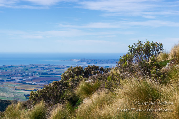
The origins of the name 'The Ned' are uncertain, however several mountains including Altimarlock and Blairich in the area were named by a Scotsman, McCrae, who was an active explorer of the interior of Marlborough, and a 'ned' is a Scots term for a hooligan or loutish youth, so it's possible McCrae may have been the source of the name. The Māori name 'Ka Para Te Hau' (The long gaze of Te Hau) celebrates the Rangitāne ancestor, Te Hau, the grandfather of Kupe. The mountain itself is said to represent the reclining nose of Te Hau as he surveys the surrounding landscape. The Māori name is quite apt, as from the summit, it is possible to see much of south Marlborough including the Awatere Valley, south to Kapara Te Hau (The sunken gardens of Te Hau), or Lake Grassmere, Cape Campbell, and to the north much of the Wairau plain and valley.
Biodiversity
The Ned has one of the best preserved areas of indigenous dry shrubland vegetation in Marlborough. Native vegetation includes a variety of dryland species. Shrubs include Mahoe, Tauhinu, Mānuka, matagouri, prickly mingimingi, and porcupine shrub. Grasses include silver tussock, however there are no areas of open tussock grassland. Ferns include significant areas of bracken; other ferns include little hard fern, necklace fern, and shield ferns. On lower, sunnier north facing slopes, flax and cabbage trees can be found. Several species of lichens can be found growing on a variety of surfaces including rocks and limbs of shrubs. A variety of fungi occur, including Scleroderma or earthballs, which form a mycorrhizal with mānuka. Wilding pine control has been undertaken to prevent spread of these invasive conifers. Bird species present include fantail, tomtit, bellbird, among others.
Climate and geography
The terrain is steep, with low rainfall, with rocky outcrops near the summit. A steep four wheel drive track climbs to a saddle at about 680 metres, Several solar powered communications antenna and a trig are located on the summit.
Images
© Christopher Cookson License this image
Web Links
Cite this page
Cookson, C. (2021). The Ned / Te Hau. Retrieved April, 18, 2024, from https://www.marlboroughonline.co.nz/marlborough/information/geography/high-country/the-ned-ka-para-te-hau/