Answers to some common questions about Marlborough
By: Christopher Cookson
Last Modified: 17-6-2021 14:59
How well do you really know Marlborough?
© Christopher Cookson License this image
Whether you’re looking for answers for a school project, or want some questions for a pub quiz, here and some questions and answers about Marlborough. Some of the answers are probably well known, but some might be a bit surprising.
Who discovered Marlborough?
Although Māori did not keep written records or record explicit dates like Europeans, local place names and traditions suggest that Kupe discovered what is now Marlborough. Captain James Cook, along with his crew, was the first European to visit Marlborough, arriving in 1770.
When was Marlborough created?
Marlborough was formally established as a separate province in 1859, following petitions to the colonial government of the time over what were seen as unfair taxes. Prior to that, what is now Marlborough was part of the Nelson province.
What is the capital of Marlborough?
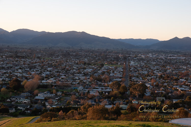
© Christopher Cookson License this image
Blenheim is the capital of Marlborough. It became the provincial capital in 1865, after Picton lost the role. Through a variety of administrative reform including the abolition of provinces in 1876, and local government reform in 1989, Blenheim has remained the capital of Marlborough ever since. Not bad for what started out as a big flax swamp.
How did Marlborough get its name?
Marlborough is named after the Duke of Marlborough in the tradition of various other places in New Zealand such as Wellington and Nelson that were named after British war heroes. The area as a whole did not have a Māori name, as different iwi occupied different parts of what became Marlborough and gave names to areas they occupied rather than the entire area. The largest area with a Māori name that became part of Marlborough was Wairau. Te Tau ihu is used to refer to the top of the south including Marlborough and Nelson.
How large is Marlborough?
The current Marlborough District has a land area of 1,049,128 hectares (10,491.28 square kilometres) or 4,050.70 square miles. Prior to 1989, Marlborough included what is now Kaikōura District. The original Marlborough Province had an area of about 1,214,057 hectares.
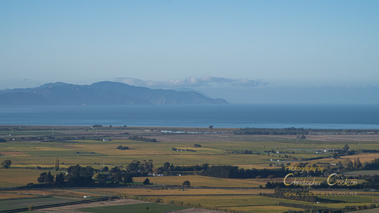
Where are the boundaries of Marlborough?
© Christopher Cookson License this image
The boundaries of Marlborough are Cook Strait in the north east, the Red Hills and Richmond Range in the north west, the St Arnaud Range in the west, and more or less the Inland Kaikōura Range in the south, although a section of the Waiau Toa/Clarence and Amuri Range, forms part of the southern boundary, and on the east coast, it is near Tirohanga Stream. The former Marlborough Province and subsequent Marlborough region had its southern boundary at the Conway River.
What is the highest point in Marlborough?
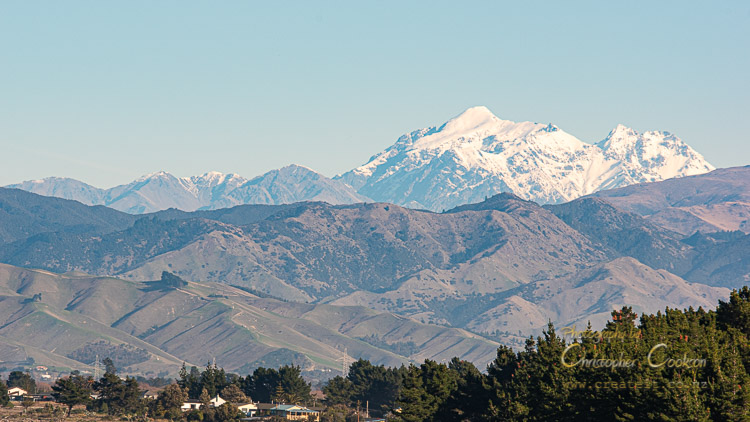
© Christopher Cookson License this image
Tapuae-o-Uenuku in the Inland Kaikōura Range is 2885 metres high, and not only the highest point in Marlborough, but also the highest point in New Zealand outside the Southern Alps.
What is the longest river in Marlborough?
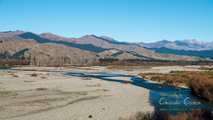
© Christopher Cookson License this image
The Wairau River is 257 kilometres long, and not only the longest, but also the largest river completely within in Marlborough. The Waiau Toa / Clarence is slightly shorter at 230 kilometres, but only a small section falls within the current Marlborough District, although under historical Marlborough boundaries it would be considered a Marlborough river.
What is the largest lake in Marlborough?

© Christopher Cookson License this image
Kapara te Hau/Lake Grassmere is the largest lake, however it is saline rather than freshwater. The largest freshwater lake in Marlborough is Lake McCrae. Never heard of Lake McCrae? It's probably because it's in the heart of Marlborough's high country. After a drive to Molesworth, you'll then have a long day's tramp of almost 20 kilometres via a largely unmarked route in to the lake, where there is at least a hut to relax once you get there.
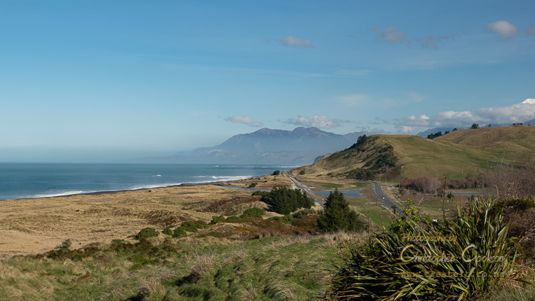
How long is Marlborough’s coastline?
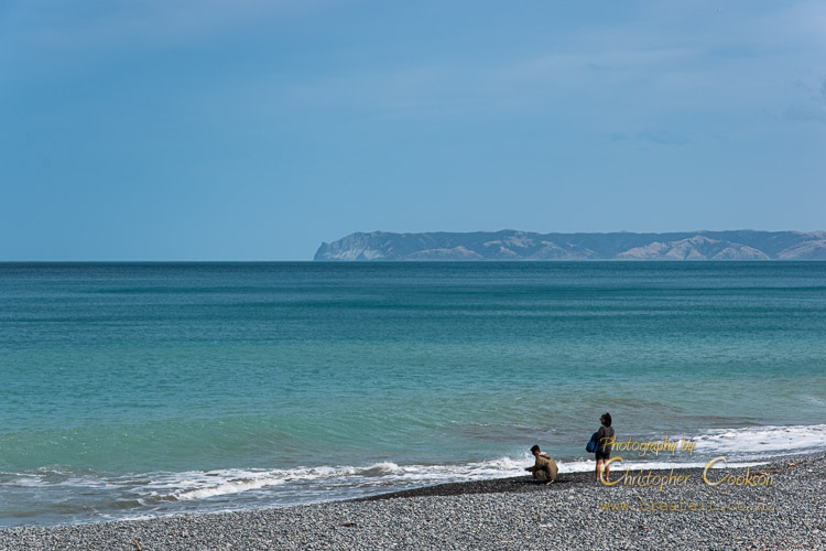
Part of Marlborough's extensive coastline
© Christopher Cookson License this image
Marlborough has 1,893 kilometres of coastline according to LINZ Topo50 maps. New Zealand’s entire coastline is estimated between 15,000-18,000 kilometres according to Te Ara, with the uncertainty due to its complexity. This would mean Marlborough has between 10.50-12.6% of New Zealand’s coastline. A commonly cited figure is that Marlborough has around 20% of New Zealand’s coastline, but these figures do not support this claim.
How much of Marlborough is planted in grapes?

There are fewer of these than you might think.
© Christopher Cookson License this image
According to Marlborough District Council, as of 2020 28,846 hectares of Marlborough was planted in grapes, and the total Marlborough District land area is 1,049,128 hectares, so 2.75% of Marlborough is planted in grapes. The reason that it can seem like Marlborough is overrun with grape vines is that the areas that are best suited for viticulture also happen to be near where most of the roads run, as both roads and vines benefit from flat, or gently rolling country.
What is the main land use in Marlborough?
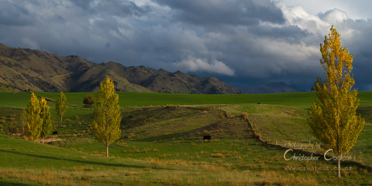
© Christopher Cookson License this image
According to data from the Land Cover Database developed by Manaaki Whenua Landcare Research, as of 2018, 290,079 hectares or 28% of Marlborough is pasture. The next largest type of land cover is native forest (not including native scrub) at 20%. If all types of native vegetation are included, about half of Marlborough isn't used for anything, and is just left in its wild native state.
Are there any national parks in Marlborough?
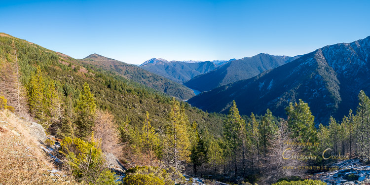
© Christopher Cookson License this image
No, but Mount Richmond Forest Park is larger than all but three of New Zealand’s national parks, and is the largest area of native forest in the east of the South Island, and has an extensive network of tramping tracks and huts, including part of Te Araroa Trail. Most national parks are easily accessible, whereas Mount Richmond Forest Park has many rough access roads that cross private or leased forestry land that can be closed periodically to public access, otherwise it would be an extremely good candidate to become a national park.
Molesworth Recreation Reserve is about the size of Stewart Island, although the land is still farmed, and much of it has been extensively modified with introduced vegetation, which likely reduces its prospects of becoming a national park.
What is Marlborough’s population?
At the 2018 Census, Marlborough had a usually resident population of 47,340, or 1 percent of New Zealand’s population. This was a growth of 3,924 since the 2013 Census, or 785 per year. The actual number of people living in Marlborough is likely to be higher, since seasonal workers on temporary RSE visas adds around 2,000-3,000 during peak season.
What iwi are present in Marlborough?
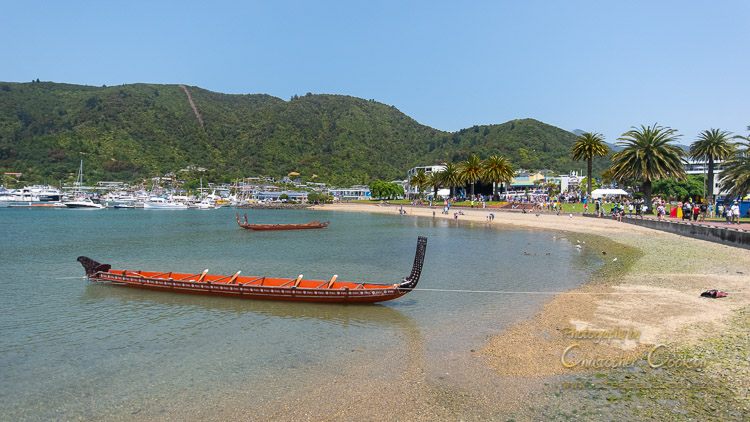
© Christopher Cookson License this image
The following iwi are represented in Marlborough (in alphabetical order): Ngāti Apa ki te Rā Tō, Ngāti Koata, Ngāti Kuia, Ngāti Rārua, Ngāi Tahu, Ngāti Toa Rangatira, Rangitāne o Wairau, Te Ātiawa.
How much do people in Marlborough Earn?
According to the 2018 Census, the median (ie half earn more, half earn less) personal income in Marlborough was $31,500. This reflects a high super-annuitant population, with pensions as their main source of income. Census data also identified that 50% of the population were employed full time. The census data also showed that a higher percentage of Marlburians at every income level between $15,001 - $70,000 than the national average, but fewer above or below these levels.
Cite this page
Cookson, C. (2021). Answers to some common questions about Marlborough. Retrieved April, 20, 2024, from https://www.marlboroughonline.co.nz/marlborough/information/commentary/answers-to-some-common-questions-about-marlborough/
Be part of the conversation
Sign up to post comments.